Rare Maps Collection of the Washington State Library
 Washington State Library Special Collections collect and preserve historic maps and atlases dating back to the early European and Asian exploration of the North Pacific coastline.
The State Library has hundreds of rare and historical maps in the following cartographic formats: base and outline, geologic, historic, road, topographic, demographic, environmental, hydrologic, cadastral, property, seismologic, soil, urban planning, nautical, and aeronautical charts.
Browse the Rare Maps currently in the catalog
Collection Highlights
Digitized Maps
Guidelines for Use of the Collection
Other Cartographic Resources at the State Library
Collection Highlights
|

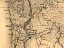
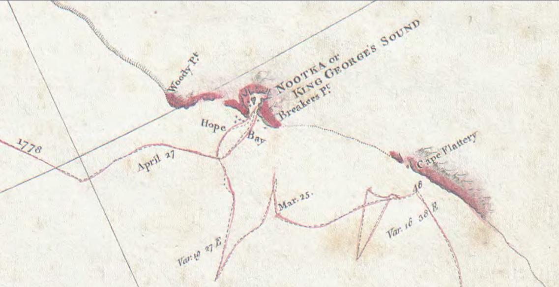
A pictorial relief chart of the northwest coast of America and the northeast coast of Asia, with depths shown by soundings. This chart was created by Lieutenant Henry Roberts of the HMS Discovery, while under the command of Captain James Cook, as they explored the North Pacific in the years 1778 and 1779 during Cook’s third and final voyage (RARE MAP-1 912.798 ROBERTS 1784. Map detail shown above.)
It is fine evidence of Cook and his crews’ achievement in charting the majority of the North American northwest coastline for the first time in history. This chart also shows their failure to note the mouth of the Columbia River and the Strait of Juan de Fuca, the latter of which they unknowingly sailed past as they named and noted the location of Cape Flattery on March 22, 1778.
|
|

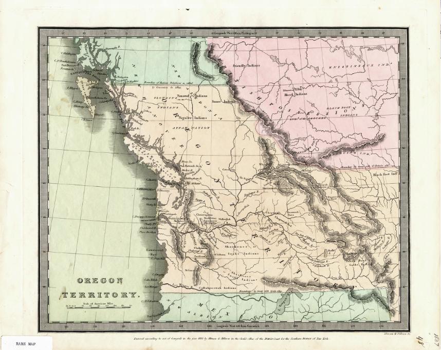
There is a fantastic copy of Illman & Pilbrow’s 1833 map of Oregon Territory (RARE MAP-1 912.795 ILLMAN 1833. Map image shown above.)
This map shows the territorial boundary set at the controversial 54°40’ parallel that fueled the famous Oregon boundary dispute of the 1840s.
|
|

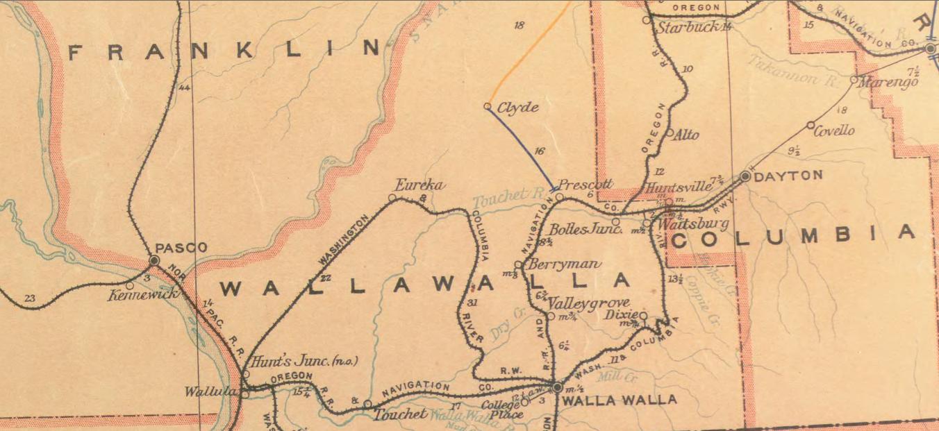
Lastly there is this wonderful post route map of the State of Washington which shows the intermediate distances of mail routes in operation in 1897 and includes a list of counties showing relative position within state
(RARE MAP 912.797 UNITED 1897. Map detail shown above.)
|
|
|
Digitized Maps
Many of the State Library's Rare Maps have been scanned, and are available in the Historical Map Collection.
This digital collection includes maps from both the Library and the State Archives and covers the history of Washington from early exploration (1794) to modern times.
Other Cartographic Resources
The Washington State Library also has Sanborn Maps, Metsker Maps, and Donation Land Claim Plats available to the public. Please search the catalog to locate these items in the collection.